Hike to the castles of Wangenbourg and Freudeneck
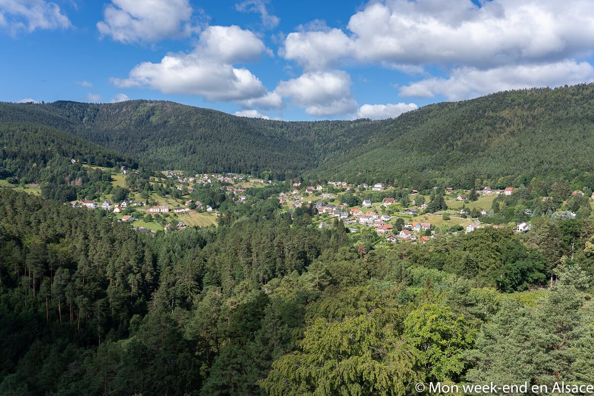
The Wangenbourg region is located 45km west of Strasbourg. It is a corner nicknamed "The little Switzerland of Alsace" because of its hilly and wooded landscapes as well as its scattered habitats. It's true that it might remind you of it sometimes, but don't expect to find yourself in the Alps either ;-) Nevertheless, the region is really beautiful and offers an idyllic setting for nature lovers, with very nice options of cycling, mountain biking or walking. Personally, I love it!

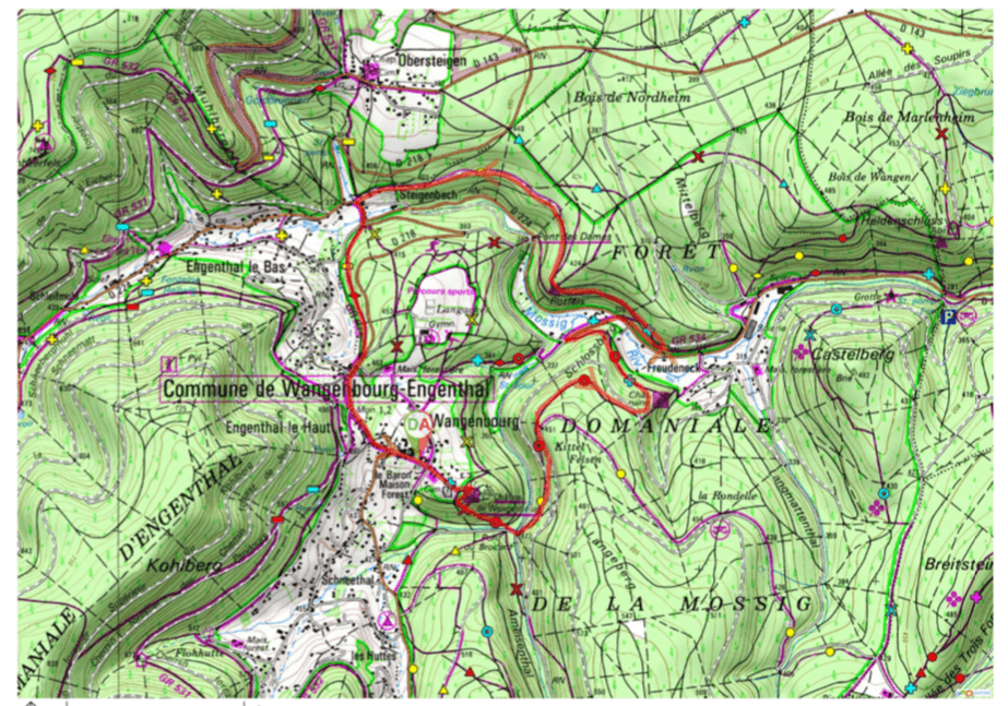
The Path of the 2 castles in Wangenbourg
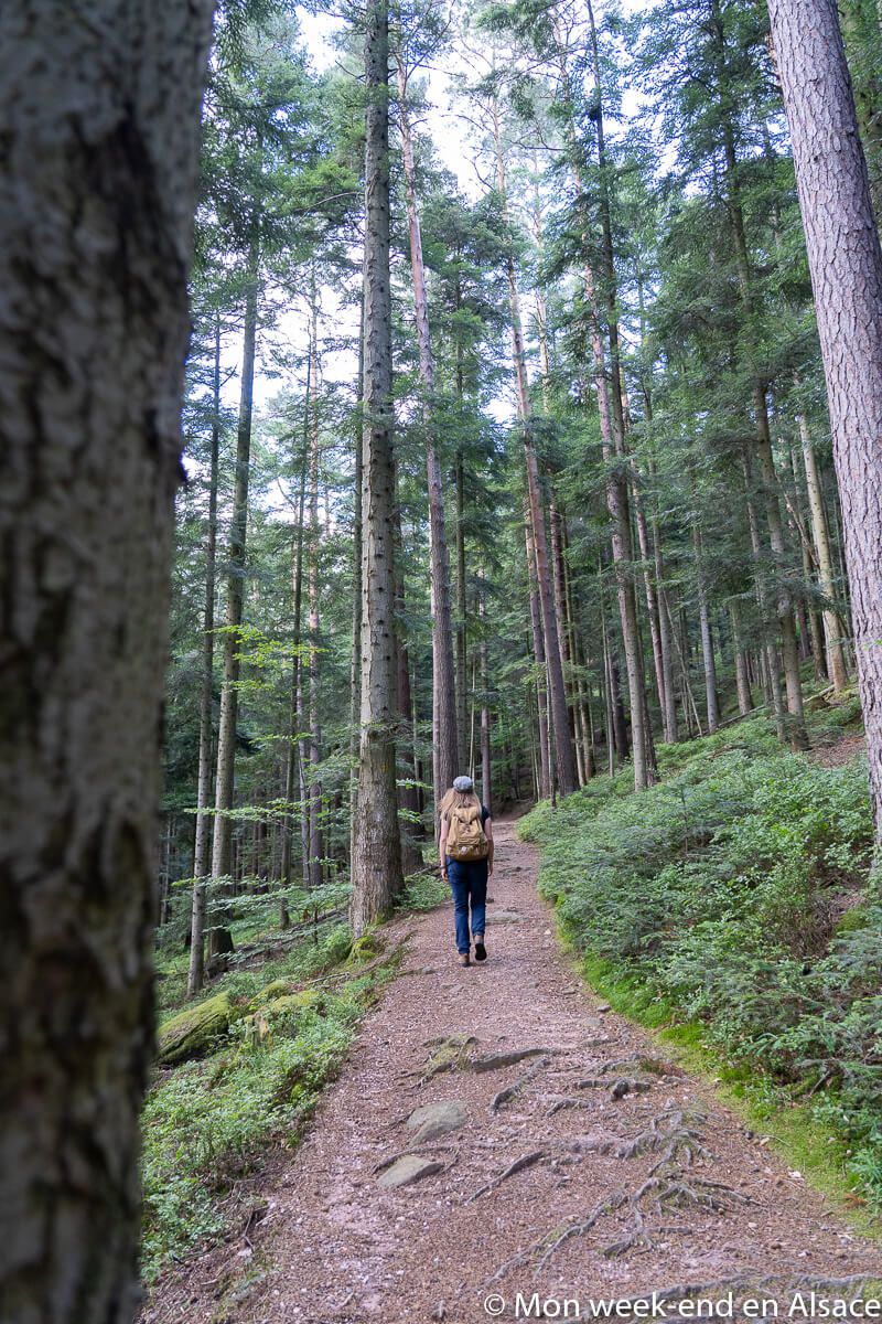
This is one of the emblematic walks of the area that I propose here: the path of the 2 castles, with however a small variation on the second part. This walk is easy: 8km and only 210m of difference in altitude, no technical difficulty, it is a walk suitable for the whole family!
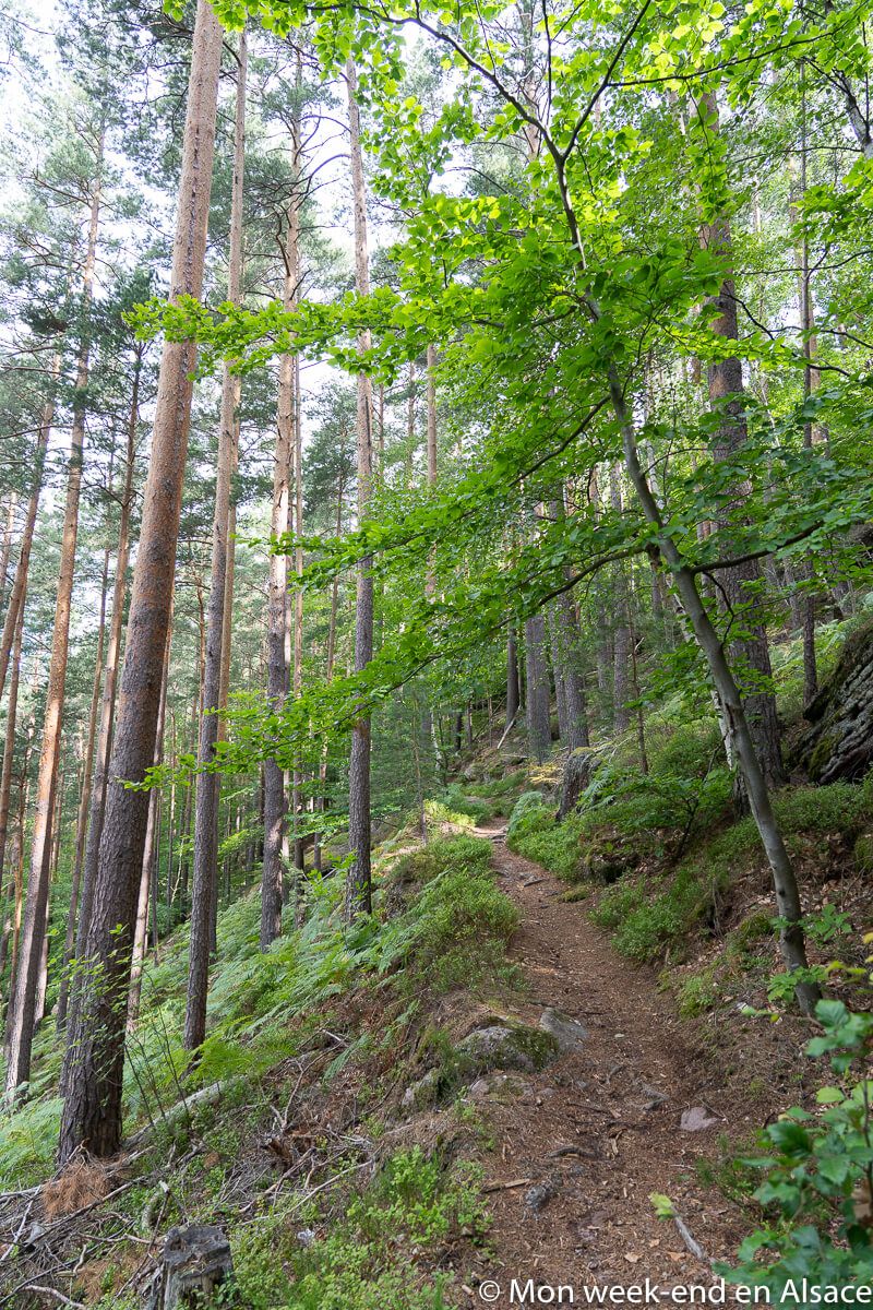
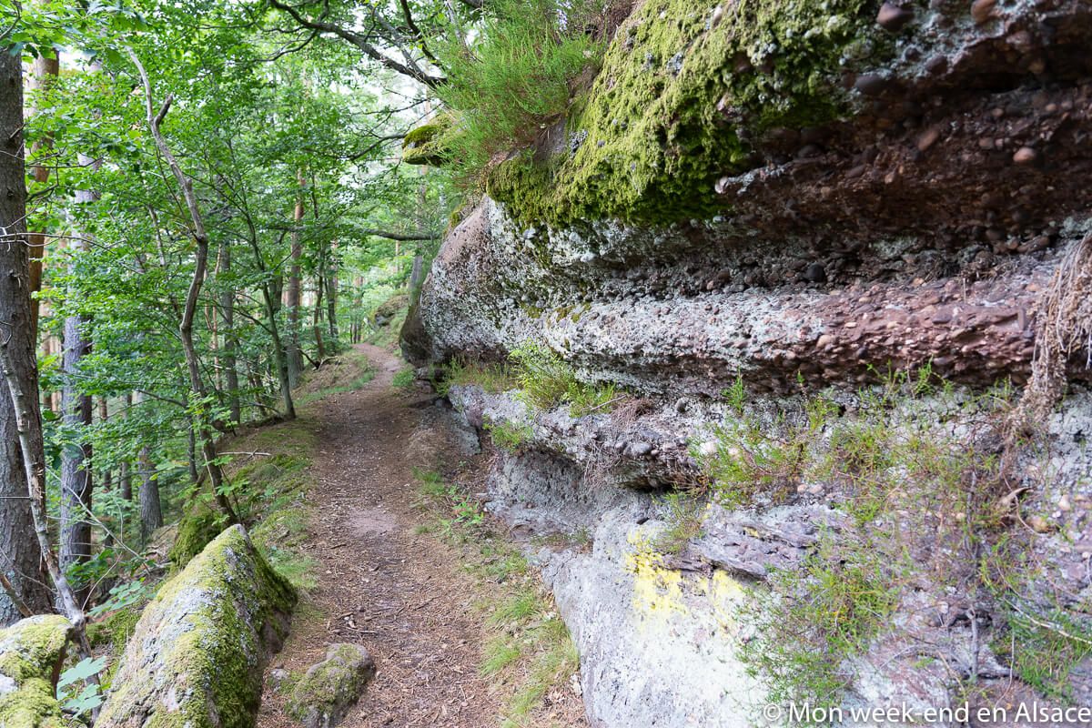
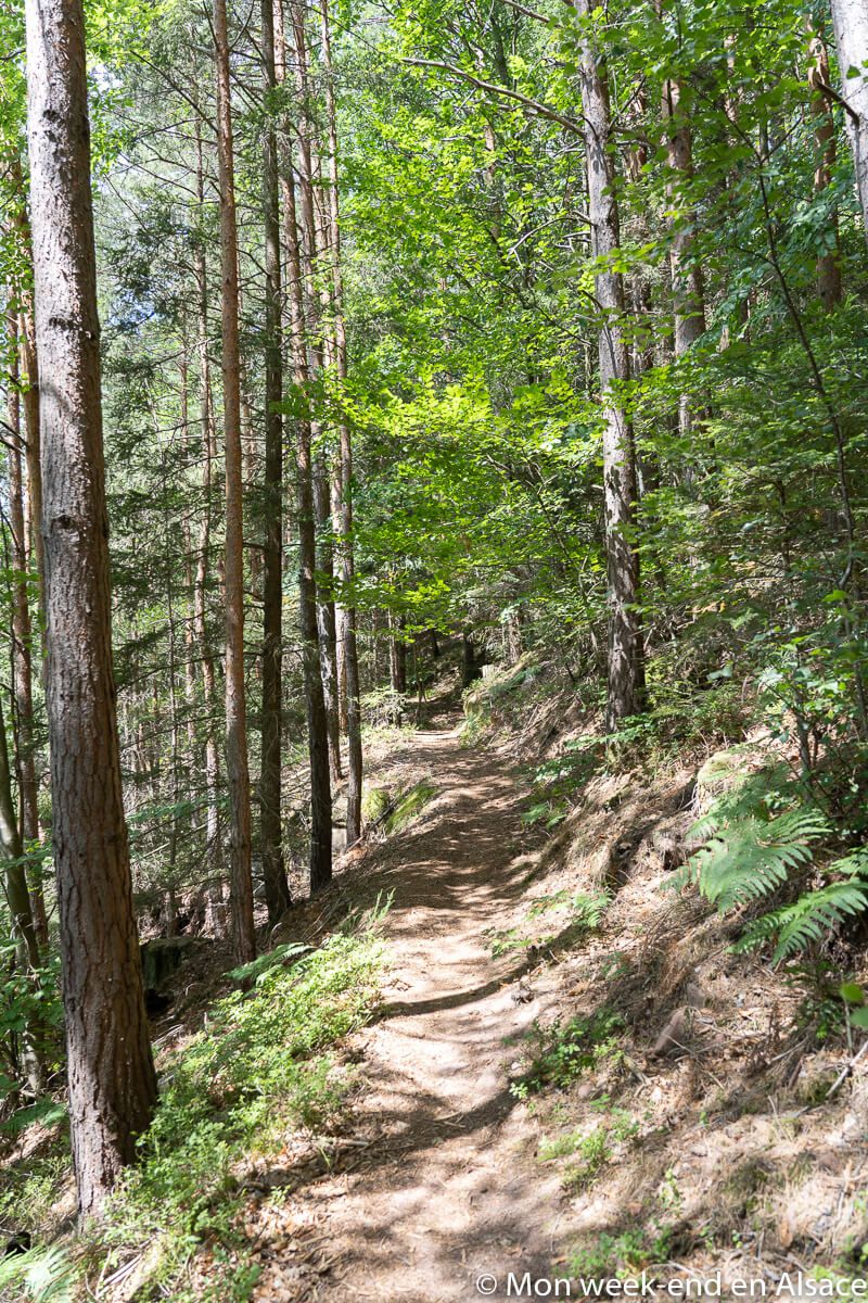
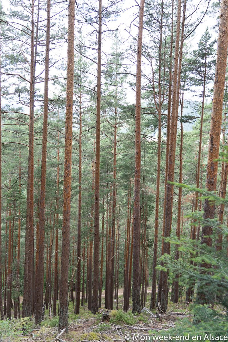
This easy hike allows you to discover two castles (Wangenbourg and Freudeneck), to have a beautiful point of view from the tower of the castle of Wangenbourg, to walk along beautiful paths in the forest and to observe beautiful blocks of pink sandstone typical of the Northern Vosges. Nice, right?
The hiking route step by step
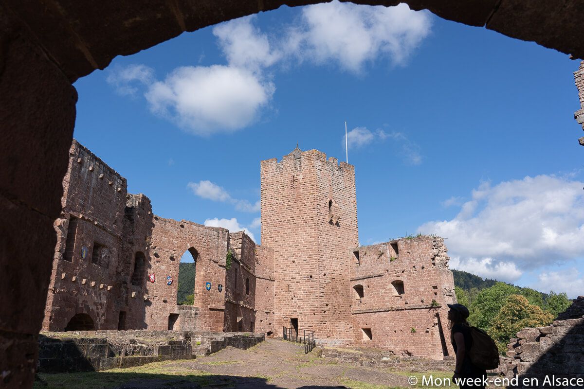
The departure is at the parking of the 5th army in Wangenbourg-Engenthal, just in front of the Tourist Office. One starts then by taking the direction of the castle of Wangenbourg. I did not know this castle, I was surprised when I discovered it: it is in ruins certainly but beautiful majestic ruins giving an idea of what it could have been in the past! You can also climb to the top of its tower (open every day until 6pm), which I recommend you do: the view on the surroundings is magnificent and 360 degrees!
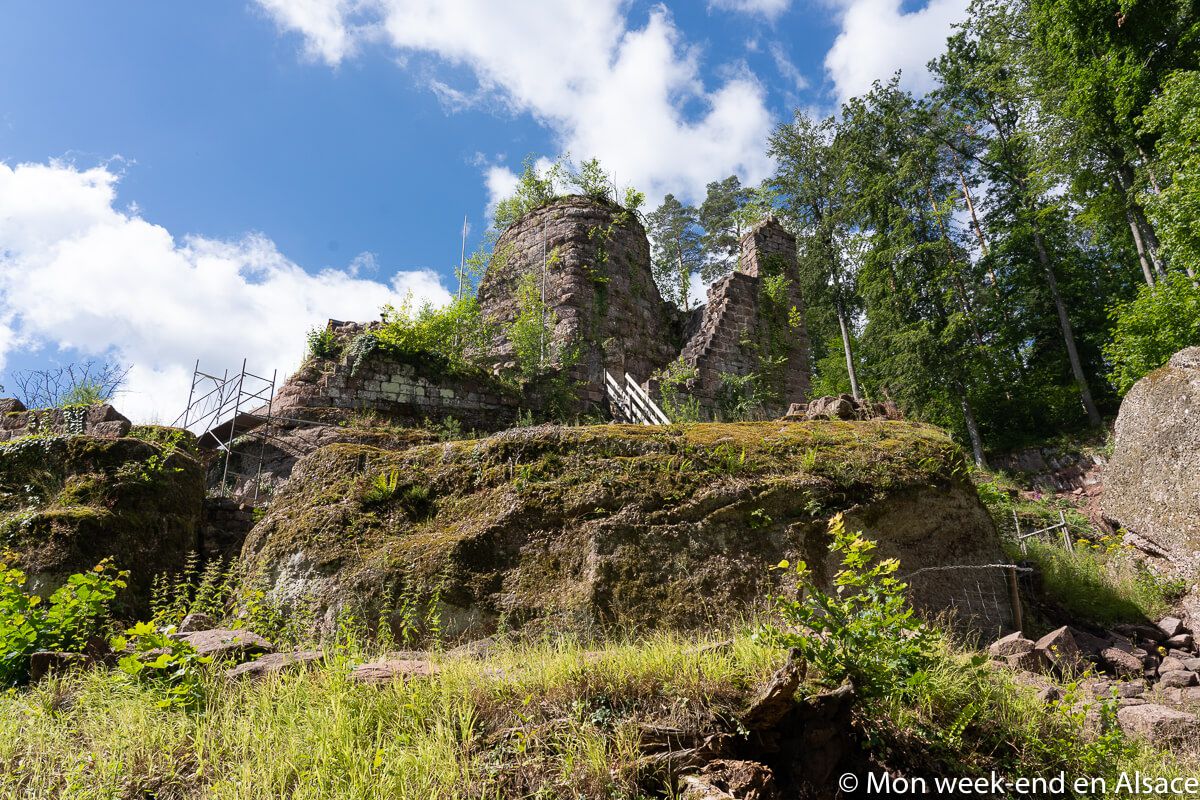
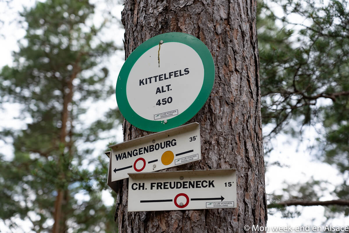
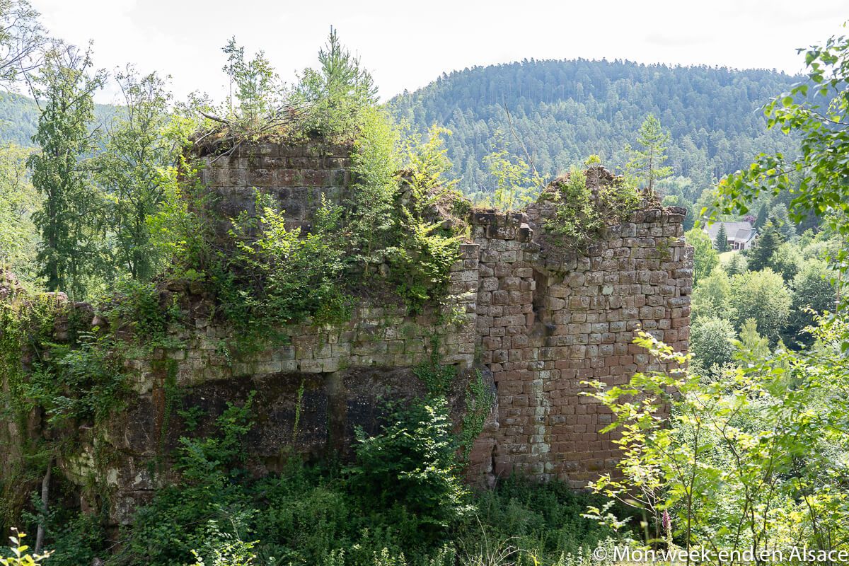
We then continue in the direction of the Kittelfels following the yellow circle. At the Kittelfels, follow the yellow circle in the direction of Freudeneck Castle. This castle is really in ruins but is slowly coming back to life thanks to the work of very invested volunteers. It is only possible to access it during Builders’ workshops (workshops where you can get hands-on with the castle’s conservation work and help out!), but the volunteers aim to make the castle accessible to the public one day! The work to be done is impressive but the project is progressing little by little.
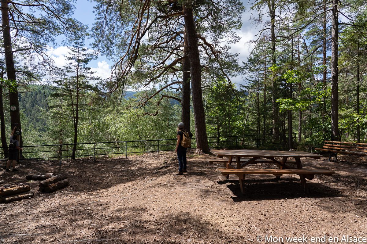
Going down, we follow the markings with the blue and the yellow cross. When you arrive on the asphalt road, you take to the right and follow the road then you cross the D224 and you take the stone staircase just in front. Then, we follow the yellow cross to reach the Rotfels, a very pleasant place to picnic. Picnic tables are available.
On the way back, follow the yellow round marker in the direction of the Steigenbach, then follow the direction of Wangenbourg along the road, take the stairs in front and follow Wangenbourg (tourist office) to the starting point.
I liked
- Admire the 2 castles
- The view from the tower of the castle of Wangenbourg
- Beautiful forest
- Easy walk
I liked less
- Nothing!
My photos of the 2 castles hike in Wangenbourg


Practical information
Itinerary
With the description and the photo map, you should be able to do it. Don’t hesitate to ask for a paper map at the Tourist Office (you park in front of it anyway), they will be able to provide you with it and give you more explanations if necessary.
Departure and arrival
In front of the Tourist Office of Wangenbourg-Engenthal.
Features
- Distance : 8km
- Elevation gain : 210m
- Duration: 2 hours approximately
Hungry?
You can have lunch at the Auberge du Schneeberg (during the summer season), at the Parc Hôtel (Sunday lunch only) and at the Freudeneck restaurant.
Access
By car
You have to count:- 38 km from Strasbourg (about 45 minutes)
- 88 km from Colmar (about 1h20)
- 130 km from Mulhouse (about 1h40)