
Let's go to the unavoidable Alsatian hiking trail that all hiking enthusiasts must do once, the Sentier des Roches, known to be one of the most beautiful hikes in Alsace!

To know before going hiking
Notice to the inhabitants of Strasbourg, you have to get up early for the long journey but it’s worthwhile to plan the day to enjoy it!
Indeed, they are simply the most beautiful views of the Vosges which will be offered to you, at the price of some efforts; it is not the Mont Blanc, but it is still necessary to be in shape, with a stable foot and well maintained in high shoes (no more city sneakers!). This is not a family outing with young children on this one and check the weather forecast before leaving(avoid slippery rainy days and the trail is forbidden in winter, between November and March approximately).
Once all these conditions are met, let nature take you and your body out of its comfort zone 😉
Sentier des Roches Route
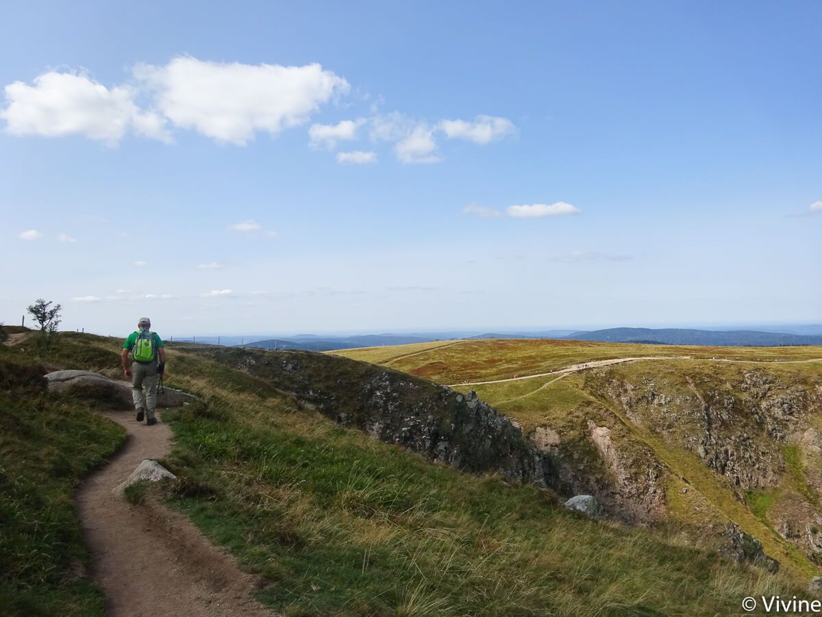
It is at the Col de la Schlucht in the heart of the Vosges massif that everything begins (and ends!), at the border between the departments of the Haut-Rhin and the Vosges; freshly redeveloped, park on the “ski area” parking lots, then pass in front of the “Tétras” tourist building (store, toilets and information) to see the “sentier des roches” departure sign next to the “auberge du chalet”.
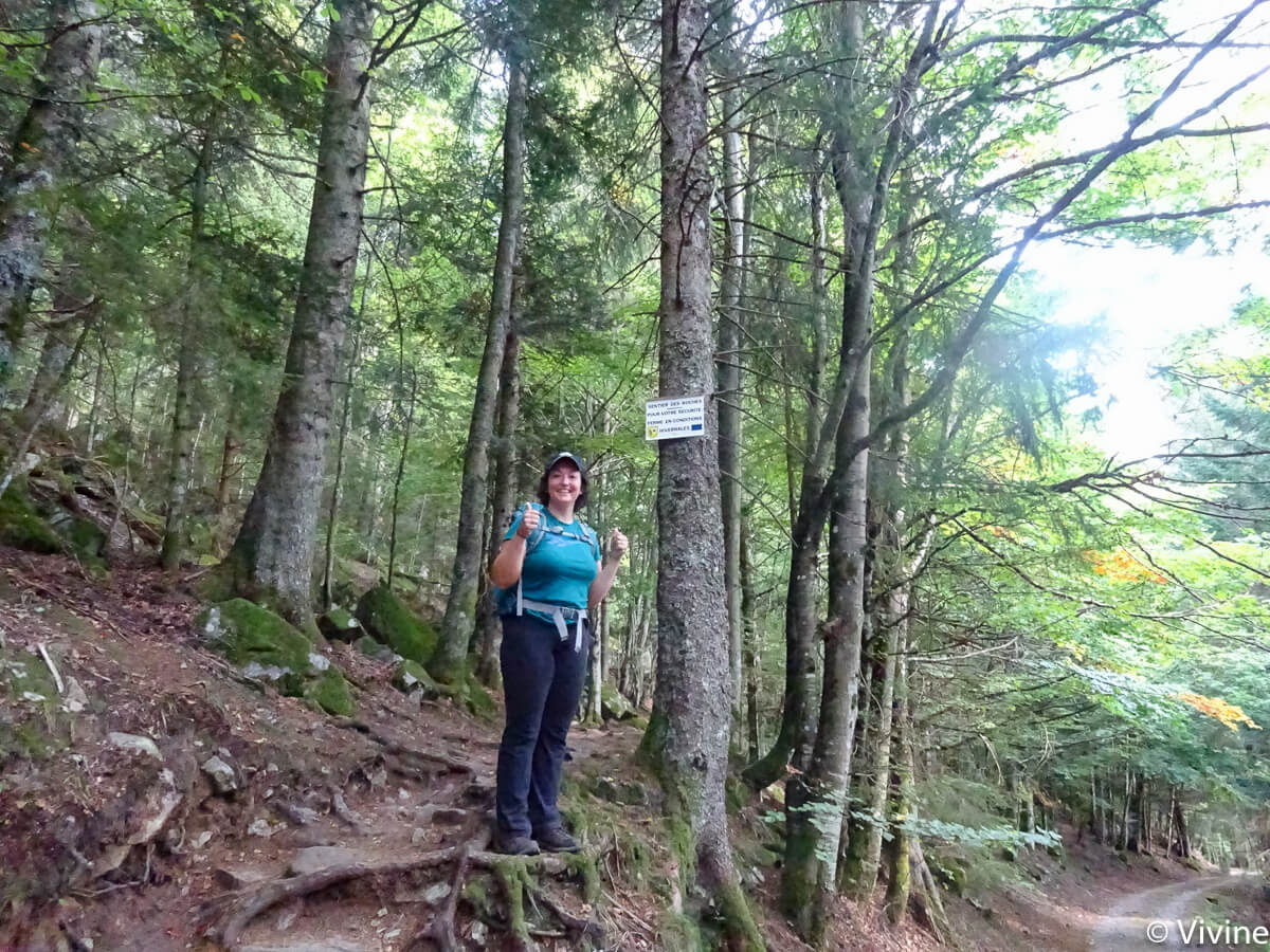
The markings are quite visible (thanks to the Club Vosgien), just remember these key places : blue rectangle to Frankenthal – red triangle to Hohneck (with or without a drop off at the top) – Col de Falimont (by the corridor trail but there is a less nice shortcut to Frankenthal) – Trois Fours – Col de la Schlucht. The opposite direction seems less pleasant to me.
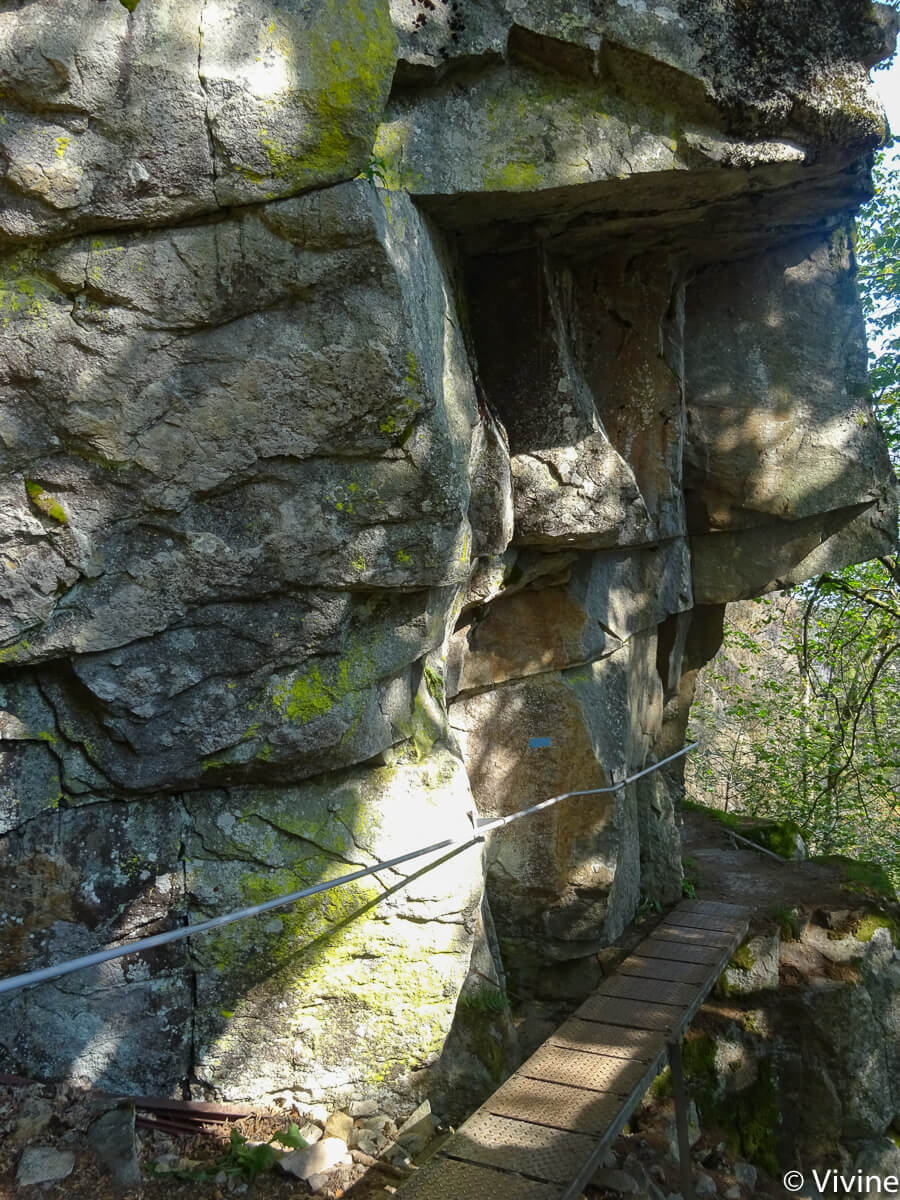
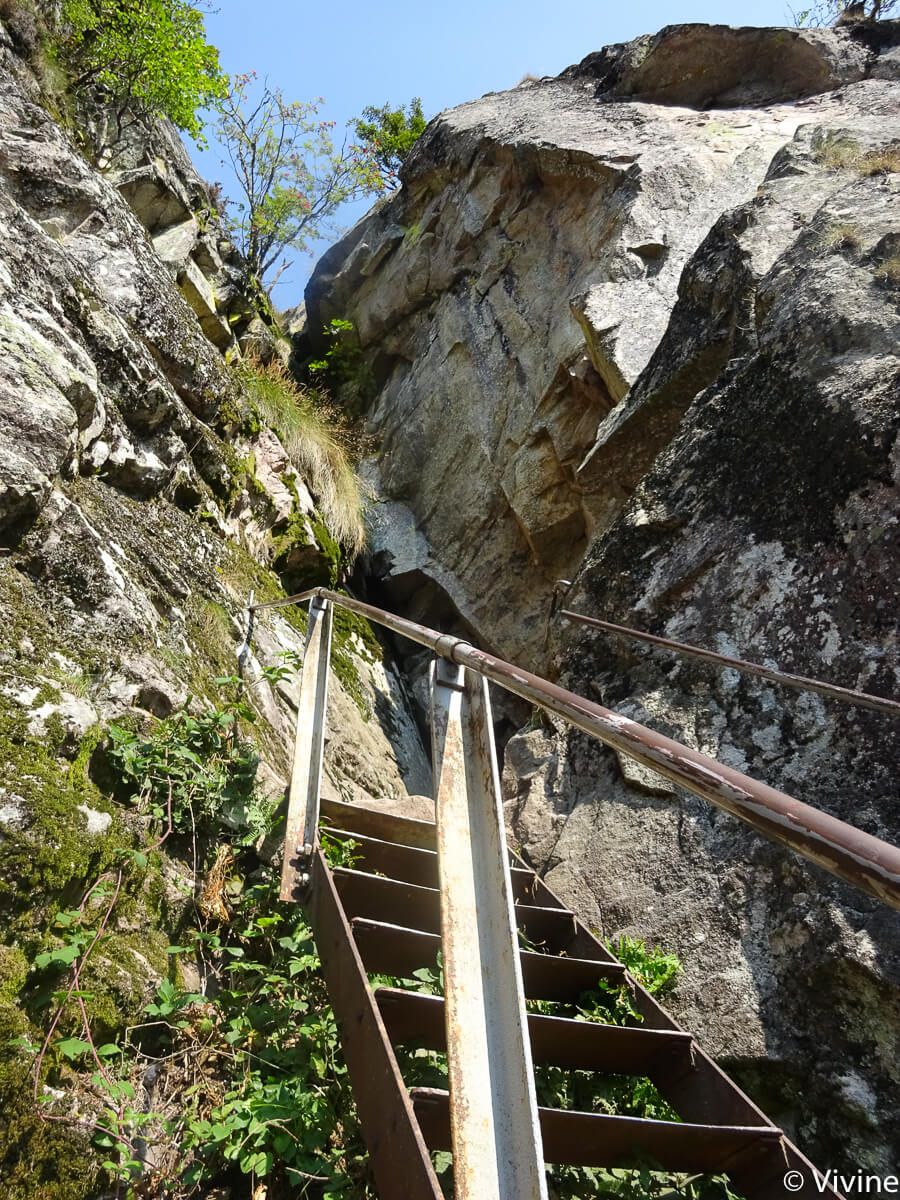
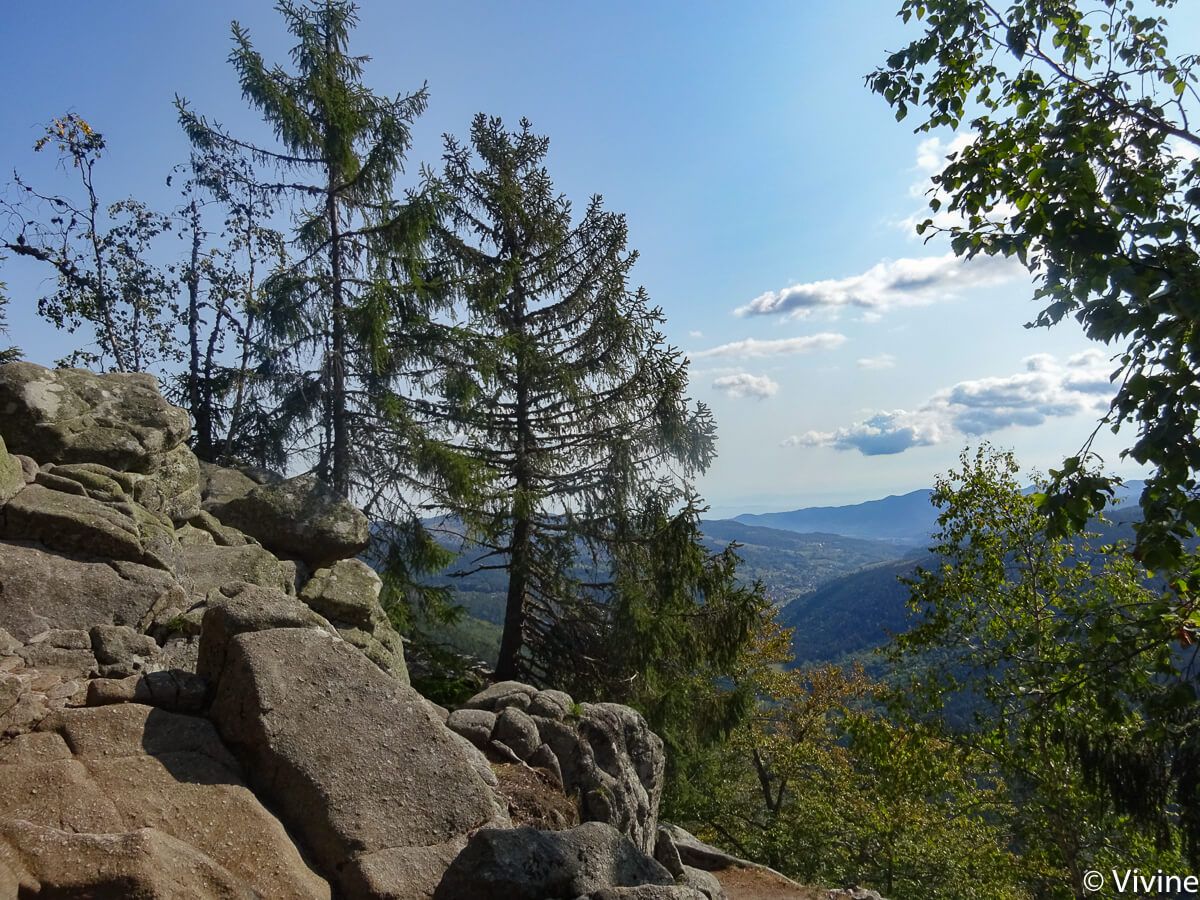
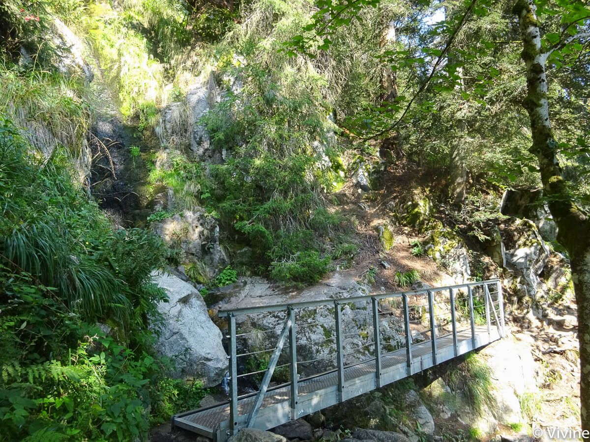
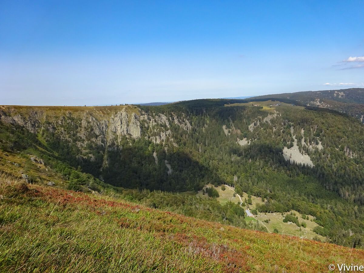
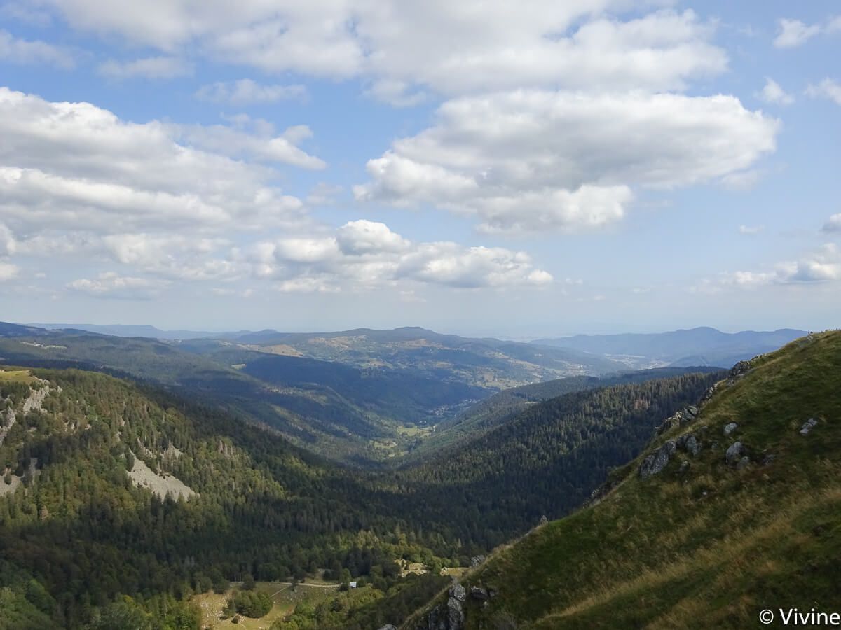
It must be said that the trail is well named, rocks will be under your feet most of the way, so it is better to stop to look up and observe the beautiful views. In the first part of the course, it goes down stairs, it takes footbridges and goes up with railings but you are in a shady area; what is not the case of the second part on the clear heights where it blows!
Gourmet break
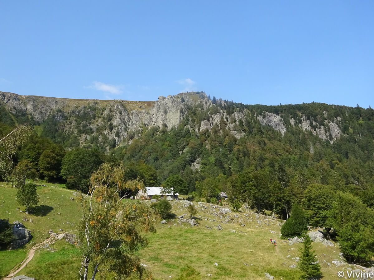
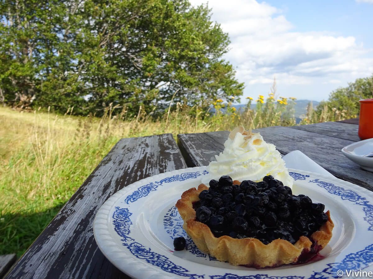
As far as the snack is concerned, if you leave around 10:30 am you will arrive just in time for the aperitif at theFrankenthal inn which seems to offer good farm products and a breathtaking view of the Hohneck cirque and the courageous climbers of the Martinswand cliffs. But after that, the ascent to the Hohneck will be waiting for you: so I preferred the sandwich option in the backpack to ensure a good ascent before the meal. You can take a break at the Dagobert cave or just before leaving the forest near the summit. On the other hand, I deserved for dessert a blueberry tartlet at the 3 fours alpine refuge (I don’t know the quality of the inn next door), just before the arrival without difficulty – signified by the surprising chapel of the Col de la Schlucht.
In the end, it took us 5.5 hours to get there, with no aches and pains the next day, but with beautiful images in our heads!
To make the memory last, don’t miss a stop in one of the many farms on the road, for example the Schmidt Farm in Soultzeren to fill the fridge with munster, pie, bargkass and other local specialties, yum!
I liked
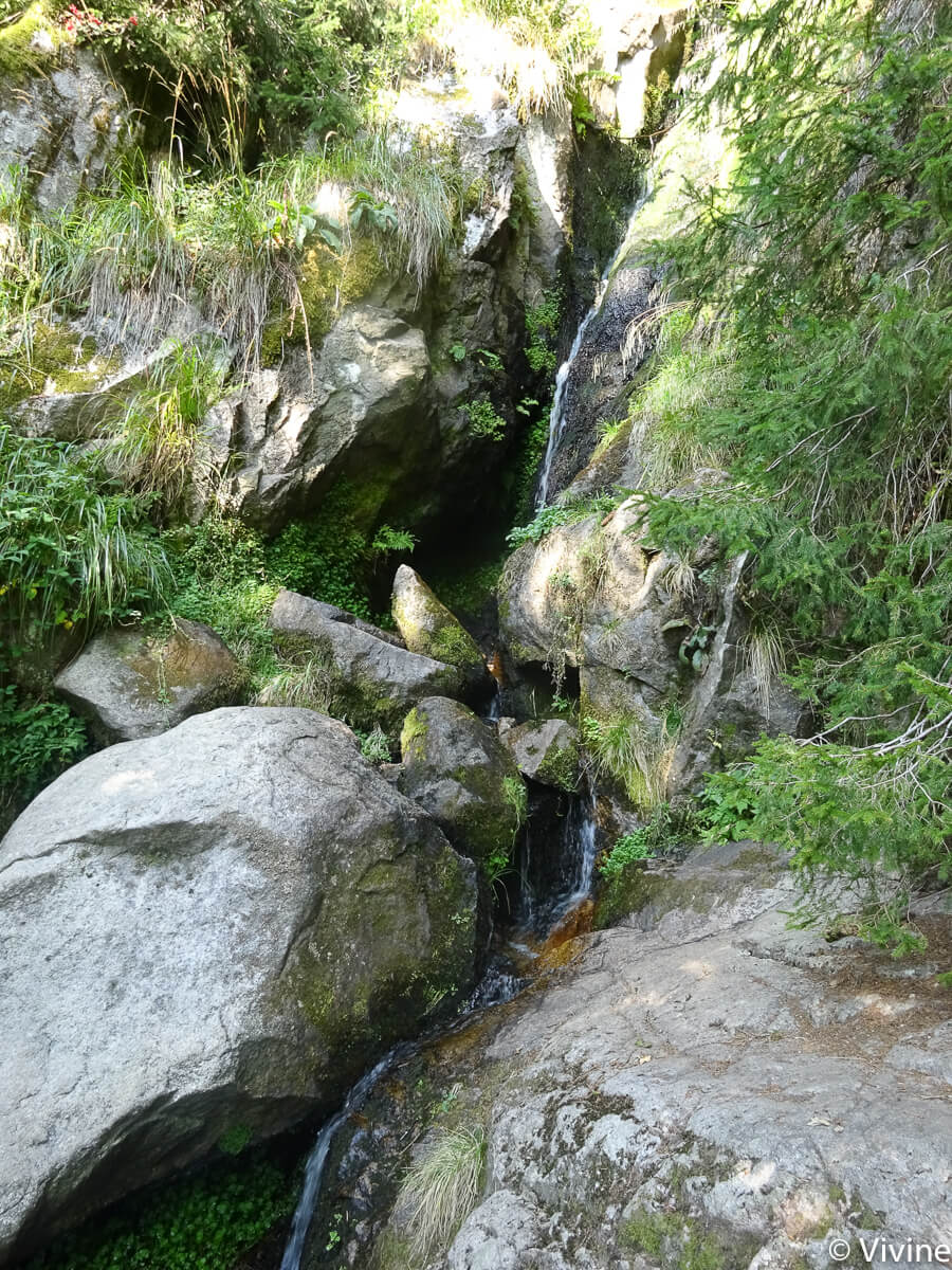
- The variety of landscapes: rocks, high stubble, forests, meadows, …
I liked a little less
- Good differences in altitude (+/- 600m), but it’s worth it!
My photos of the Sentier des Roches hike

Practical information
Itinerary
You can find this route on Visorando.
Departure and arrival
Col de la Schlucht. Park on the “ski area” parking lots, then pass in front of the “Tétras” tourist building to see the “sentier des roches” starting sign next to the “auberge du chalet”.
Features
- Distance: 10km
- Elevation gain: about 600m
- Duration: about 5h30
Access
By car
The Col de la Schlucht is located at:
- 35km from Colmar (about 45 minutes)
- 76km from Mulhouse (about 1h10)
- 105km from Strasbourg (about 1h30)
By public transport
It seems difficult :-/