
An easy 8km loop, about 3 hours, with a cool break at the Soultzbach waterfall and a beautiful panorama for the picnic, what do you say? Direction Urmatt, in the Bruche valley, an area of Alsace very appreciated for its hikes among which the famous Donon or another waterfall, the Nideck.

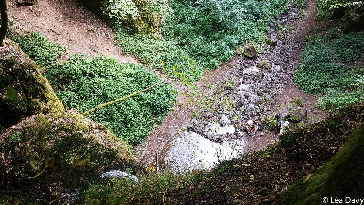
Ascent to the Soultzbach waterfall
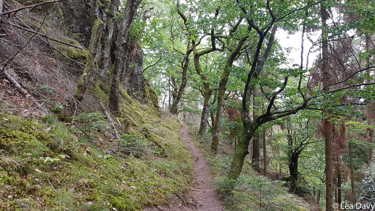
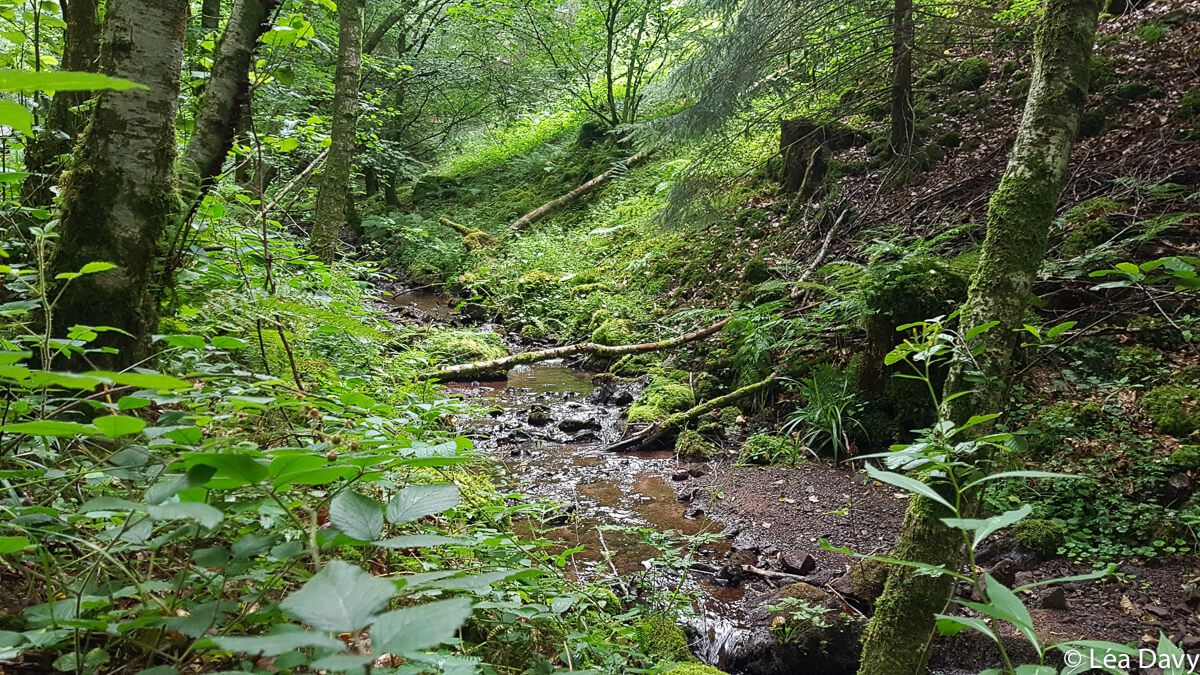
Park in the village and go to the rue de Molsheim to follow the red disc. Soon you will reach the forest road of Kappelbronn. The path is wide and flat, bordered by a stream on your right. After about one kilometer, at a crossroads recognizable by its statue of the Virgin Mary, turn left. The Soultzbach waterfall is not far away!
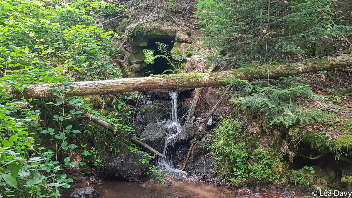
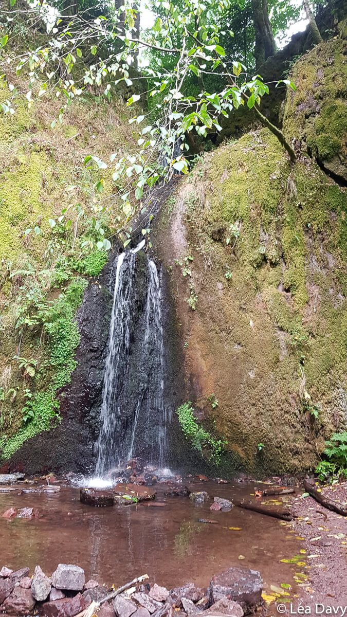
Depending on the season, water will be more or less abundant. Bad luck for us: in the middle of summer, the flow of the waterfall was not important. But there was still plenty of room to soak your feet and, for the bravest, enjoy a natural ice shower.
A small winding path, with stairs made of wooden logs (yellow rectangle markers) allows you to climb above the waterfall where there is another natural pool. The view is beautiful but be careful, the wet stones are slippery!
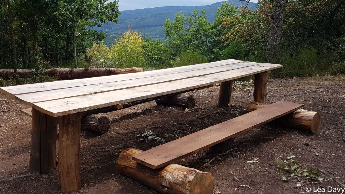
A picnic at the top of the Rosinelfels
Once the break is over, go back down to the waterfall by the same path and retrace your steps a few meters to take a path on your right (red disc markings).
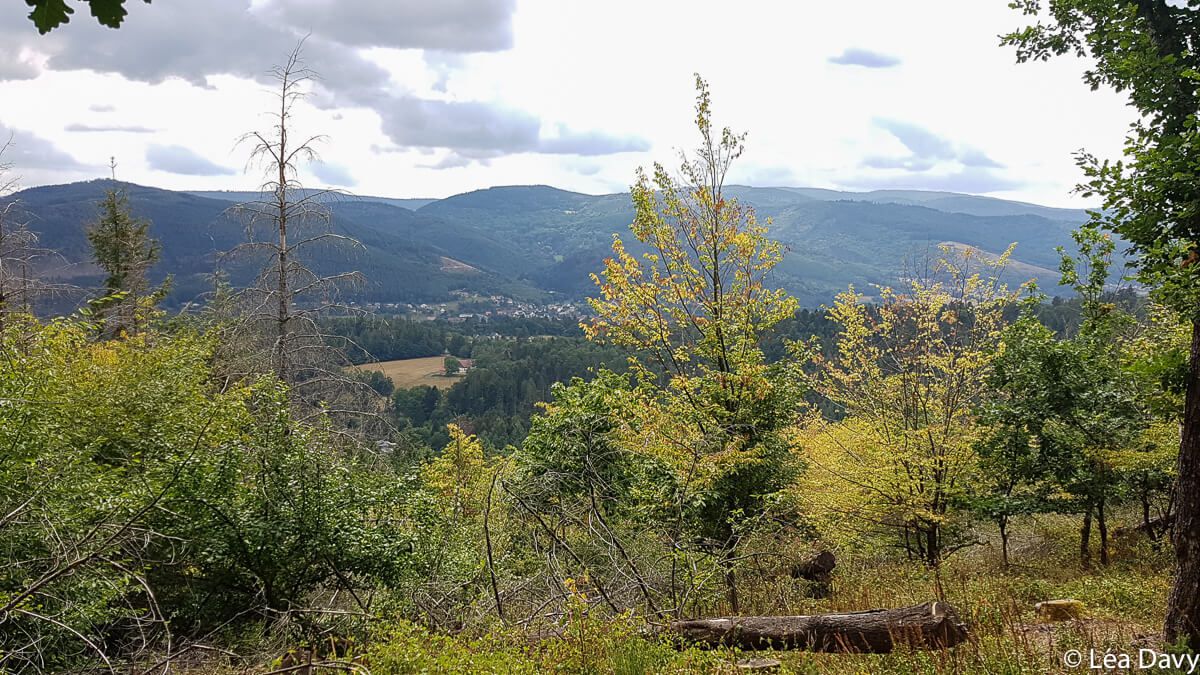
You will pass through some steep roads before joining a wider road lined with blackberries and then walk through a plantation of Douglas fir trees, very tall and straight trees native to North America. You are finally at the top of the Rosinelfels, recognizable by its large wooden picnic table. But I advise you to continue a little and to go around the summit by the left. The picnic will be less comfortable but a hole in the trees will offer you a magnificent view of the Vosges.
Descent via Urmatt
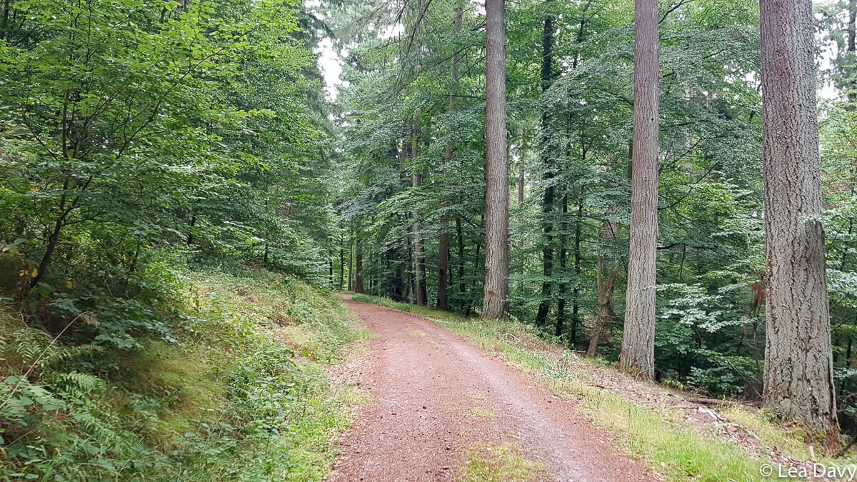
Then it’s time to go down and admire the beautiful rocks along the way. The return is fast. You will quickly reach another part of the forest road of Kappelbronn, still following the red discs, and then the village of Urmatt. This third part is less pretty but is as easy to do as the rest of the walk.
Other ideas in the area
Once the hike is over, don’t hesitate to extend your day in the valley. For example, you can hike to the Pfaffenlapp rock, visit the Climont jam workshop or treat yourself to the beautiful Cheneaudière spa.
Note that it is possible to do this hike in the opposite direction, you will find more info here.
I liked
- Refresh myself at the waterfall and admire the view of the Vosges
- The markings are identical throughout the hike, so it’s easy to follow
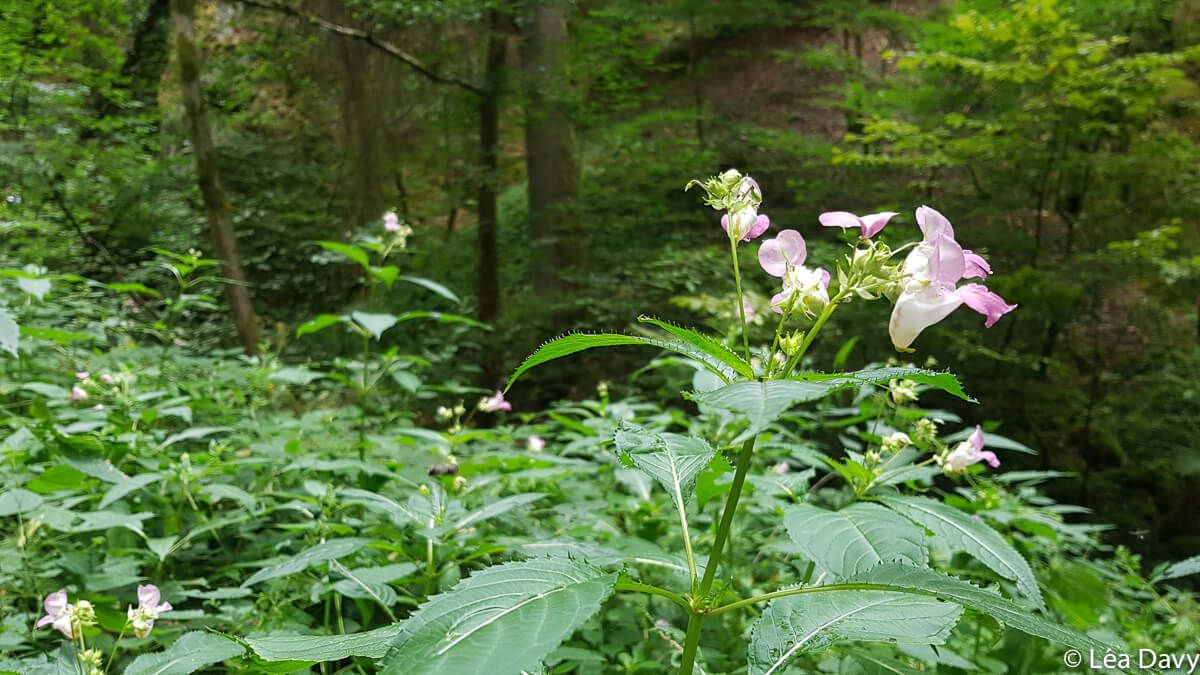
- The varied landscapes
I liked a little less
- The 3rd part of the hike, less pretty
My photos of the hike to the Soultzbach waterfall


Practical information
Itinerary
Follow the red disc marking
Departure and arrival
Parking lots in the village of Urmatt
Features
Distance : 8 km
Elevation gain : 250 meters
Duration: 3 hours
Access
By car
You have to count:
38 km from Strasbourg (about 30 minutes)
70 km from Colmar (about 55 minutes)
110 km from Mulhouse (about 1h20)
By public transport
Not obvious, but you can check your itinerary on Fluo Grand Est.