Piste des Forts de Strasbourg by bike – My opinion

The Piste des Forts is a great cycling route around Strasbourg. It is a beautiful 85km loop straddling France and Germany. Don't panic, you can choose to go through the whole game or just parts of it. In any case, the Piste des Forts is worth the effort and is an excellent choice for a bike ride near Strasbourg!
Distance
85 km
Start and finish
There are plenty of options!
Elevation gain
160m approx.
GPX file
On the traces of the Belt of Forts in Alsace
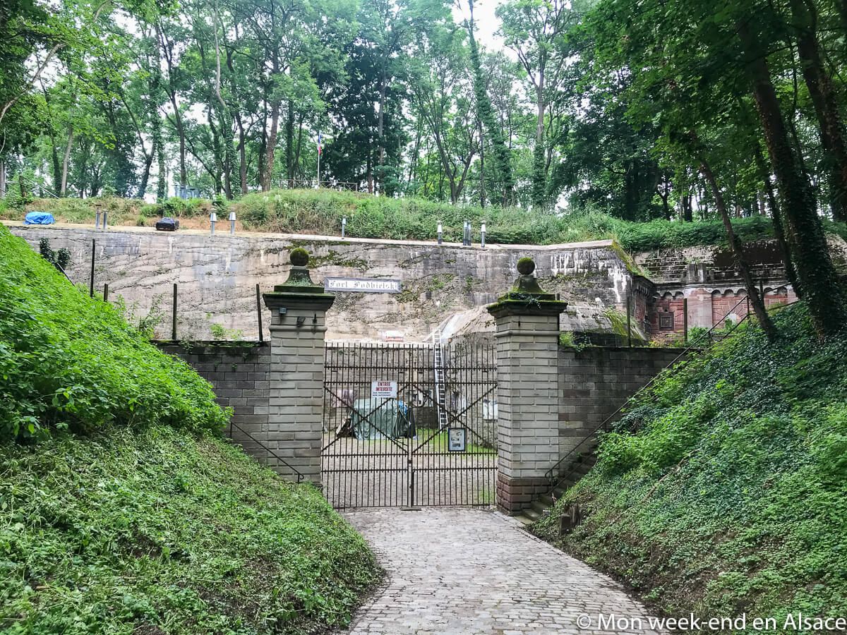
The cycle route follows the “Ceinture des Forts“, a group of 19 forts built after the 1870 war. The Germans had just conquered Alsace and decided to build a defensive belt around Strasbourg. These forts were not really used in the end but still exist, even if only traces of some of them remain. Only four structures are still open to the public: the Rapp, Frère, Kléber and Ducrot forts.
A beautiful bike ride around Strasbourg
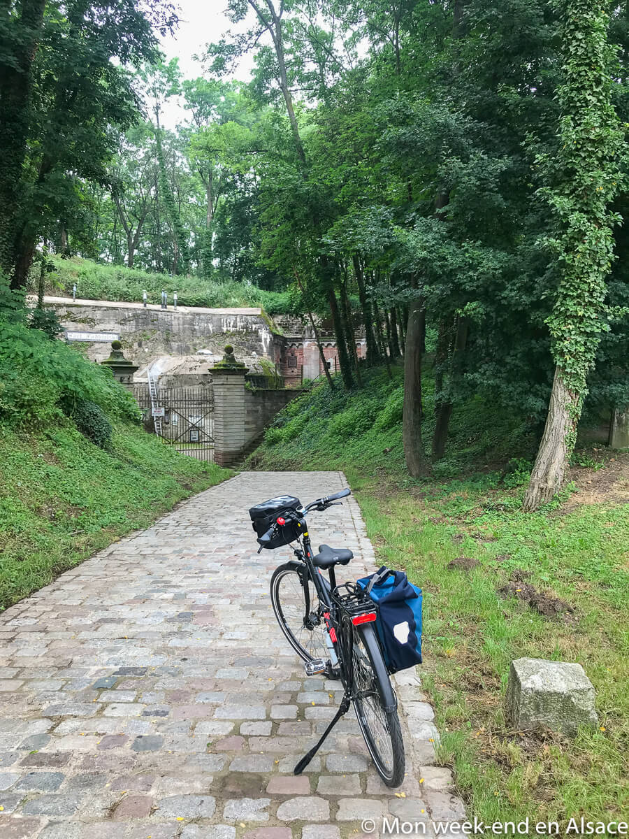
I reassure you, you don’t need to be a fortifications fan to appreciate the Piste des Forts tour! The forts are more a pretext for a nice bike ride around Strasbourg. The circuit is entirely marked out and we ride almost exclusively on bicycle paths, which is very pleasant.
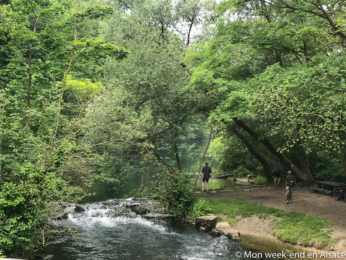
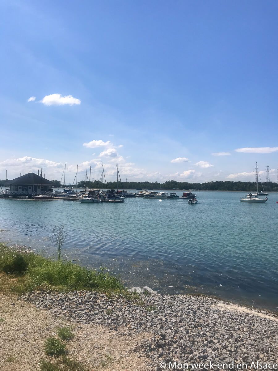
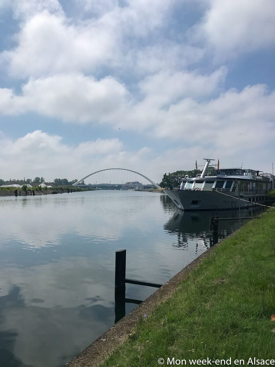
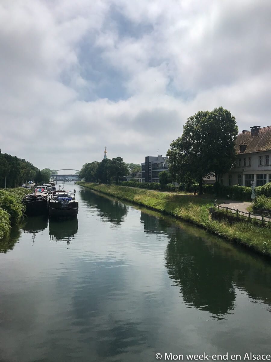
The itinerary is varied and allows you to discover different corners with a beautiful diversity of landscapes in the surroundings of Strasbourg:the Jardin des Deux Rives,the Rhine forest of Illkirch, the Wantzenau, the beautiful wild arms of the Rhine on the German side, the forest of the Robertsau, the Bruche canal.the Hausbergen hillsides, the canal de la Marne au Rhin… And, of course, the whole area is dotted with forts, even if the vegetation often makes it difficult to see them (or even impossible to see them at all).
The bike paths are paved and the route is flat: there is no particular difficulty except for the length if you want to do the 85 km of the Piste des Forts. I did it in one day: taking a picnic break in the middle, it went well, even if you need to be a bit used to pedaling so you don’t feel your muscles too much ? Otherwise, I told you above, you can easily choose to do only one section. Here is an example of a route I did on another occasion that partly follows the Piste des Forts, but there are many other options.
Marking of the Piste des Forts
Overall, the marking is well done, even if there are always small traps and I always find it easier to follow the GPX route. If you have a GPS, I advise you to do the same. There is only one really badly marked passage, where I had a hard time, even with the route: between the moment you leave the city center of Strasbourg and the moment you arrive at the Jardin des Deux Rives, good luck! If you have trouble too, manage to get to the garden without necessarily following the route, you will be in the right place at the finish ?
Start the Piste des Forts in Strasbourg
It is easy to reach the Piste des Forts from downtown Strasbourg. In my opinion, the easiest way to do this is to start the itinerary at the Jardin des Deux Rives, the Franco-German garden that stretches on both sides of the Rhine, and then start with the part of the itinerary located in Germany.

Bike rental
If you’d like to hire bikes for the Piste des Forts, you can do so here.
I liked
- Nice and varied itinerary in a loop around Strasbourg
- Possibility to leave from the city center of Strasbourg
- Nice day of cycling or possibility to do only a part of it
- Fun to cycle on both sides of the Rhine
- Protected bike lanes and generally well-marked
I liked less
- Difficult to see the forts in general, it is necessary to have a little eye
- Signage between downtown and the Jardin des Deux Rives